Thank you for visiting!
The Office of Chehalis Basin online open house is now closed.
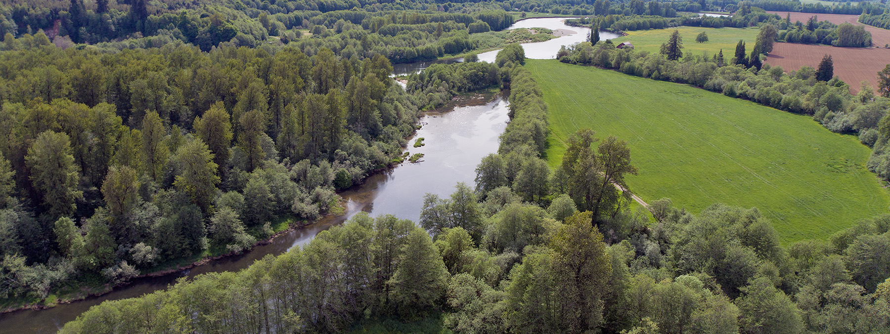
Visit the Office of Chehalis Basin website for more information about plans for a long-term Chehalis Basin Strategy to protect people and aquatic life.
The Office of Chehalis Basin online open house is now closed.
Visit the Office of Chehalis Basin website for more information about plans for a long-term Chehalis Basin Strategy to protect people and aquatic life.